Dear Sir/Madam,
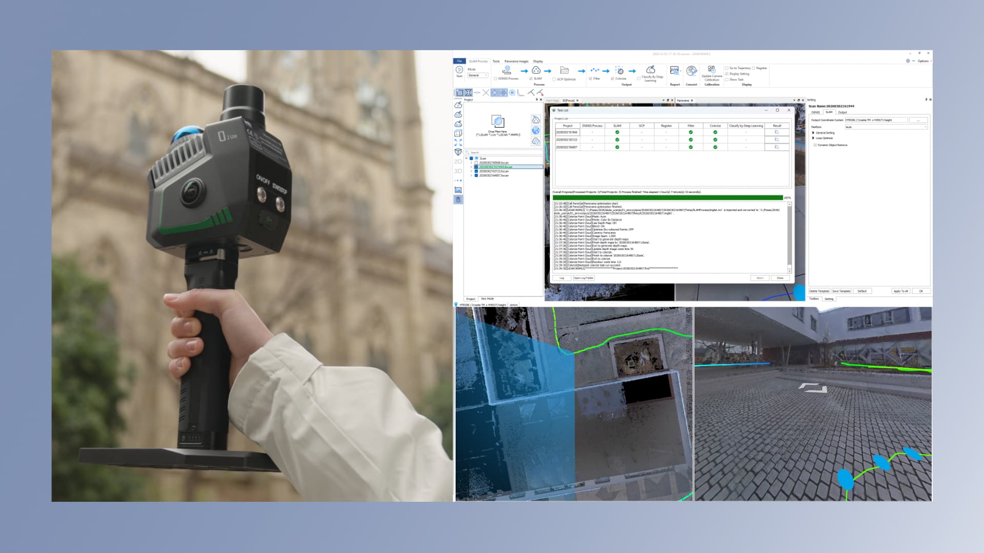
As part of our continued investment in state-of-the-art surveying equipment, we are proud to announce the acquisition of the GreenValley LiGrip O2 Lite mobile SLAM laser scanner, combined with the LiDAR360 MLS software suite for data processing.
This latest-generation portable handheld 3D laser scanner uses advanced MLF-SLAM technology (multi-source positioning fusion), enabling centimetre-level data accuracy even in challenging, feature-poor environments such as open areas, beaches, and water surfaces. In addition to its laser sensor, the device features two high-resolution panoramic cameras, allowing point cloud data to be complemented by realistic, photorealistic representations of the surveyed environment in true colour.
With this technology, GEOPREM can significantly accelerate and simplify fieldwork across a wide range of applications — from cadastral surveys and the preparation of surveying reports to infrastructure and building surveys, as well as the creation of 3D models of terrain and structures. Tasks that previously required more time in the field and conventional surveying equipment can now be completed faster and more efficiently, with fewer resources, while maintaining the high level of accuracy required by professional surveying standards.
This investment is part of our strategy to provide our clients with faster project delivery while maintaining the high standards of data quality, accuracy, and reliability for which GEOPREM is known.
The GEOPREM team